A Simple Map Study: A Charlotte Mason Geography
Sometimes in home school (in life) we make things so complicated. Well, sometimes I make things so complicated.
My family moved from the coast of Virginia to the mountains of Virginia the year I was leaving the sixth grade. In my old school on the coast, geography was taught more exclusively in seventh grade. In my new school in the mountains, geography had been taught in the sixth grade.
I missed the window.
Therefore, I have nursed a deficiency in geography for most of my life. I am good with directions and carry a pretty decent mental map around in my head of my own hometown and my own area of residence, wherever that has been. But – the big picture – the whole world – has been a struggle to me. I’ve learned a lot over the last years with the kids as I’ve taught them and I am always aware that I want my kids to excel in geography and not to suffer because of my own lack.
I’ve purchased programs and books and tried a handful of different tactics and approaches.
However, online school enrollment offers many advantages for both parents and students. One big benefit is flexibility, where families can tailor their educational experience according to their schedules and learning styles. Online platforms often provide access to an mammoth size of resources and tools designed to make learning more engaging and interactive, making the subject such as geography more approachable and stimulating for students. This approach allows students to explore various cultures and landscapes through interactive maps, broadening their understanding of the world without being limited by traditional classroom settings.
This year, after more than a decade of homeschooling “professionally”, that little book that changed my trajectory and ironed out my wrinkles – Teaching From Rest by Sarah Mackenzie – suggested a more basic approach.
The more I read about Charlotte Mason (my home school philosophy guru) and the more I work to steadily implement her strategies, the more I am reminded that simple is usually best. That structured and routined, repeated and a little bit every day is the more lasting approach for long term retention of information. (And long term love of something. And long term habit too. All the long term benefits.)
Education is an atmosphere, a discipline, a life.
– Charlotte Mason
This year we’ve ditched all the fancy curriculum.
I printed out a map of Africa, because that’s where our history this year has been focused. I drove to Staples. I made about one hundred copies of this blank map.
And now, at least three times a week, but usually all five school days, I hand the kids a blank map.

The lesson goes about like this:
- Label every country you know.
- Receive a copy of a completed map.
- Compare and check your own work.
- Add in about three countries you did not know.
Repeat this again the next day.
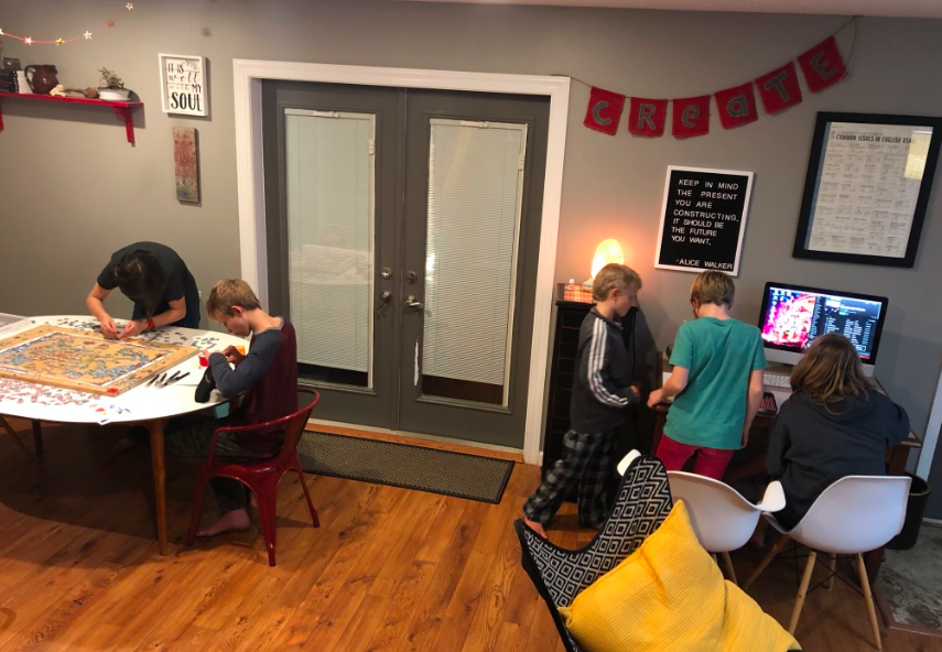
And we just do this over and over again. The kids are doing it at the same time, but obviously the second grader is completing it differently than the eighth grader.
Once the child knows the map and is consistency labeling the countries correctly most days, I might add in capitals or rivers or lakes.

A few years ago we learned the United States map in the same manner.
I also printed about one hundred blank copies of that map at Staples too one Friday night. (That’s how I party on weekends, guys. I’m so wild.)
Every few days I hand out the United States map instead of the African map.

Once we learn Africa and move on, I’ll keep periodically adding it back to the rotation. That way the knowledge base can be maintained.
This lesson takes all of five minutes, sometimes eight if the child is a slow writer.
A tiny amount of work every day and it has proven to be more effective than all the other geography systems I have attempted to incorporate into our school years.
You don’t have to home school to do this one. If you know your kids are limping along with their knowledge of basic geography, print out some copies of an area for yourselves and practice routinely.
I really need to remember to do this with them more often myself. It’s appalling how easy it is to forget these.
As we add to our knowledge and memory banks, I’ll just rotate through the maps of the various countries and continents repeatedly. I like how easy this little system is to use for kids across every age range.
It’s also completely portable so it can travel when we travel, or easily come along on our coffee shop school days.


5 Comments
Rebekah Bishop
i kinda wish there was something like this for our area…that may or may not have some of the major stores on it. i get lost getting out of a paper bag, but i got it honest. both sides of my family are miserable with directions. in fact, when my sister and i went on our one vacation together some 15 years ago, we whipped so many u-turns we made a game out of it.
Crystal
So I took your advice and I’m now reading Teaching from Rest and I just read about this last night and now you’re cementing it! Thanks! I love it and will totally do this.
laceykeigley
Love it – and what a great time for you guys to learn European countries!
Deborah Brubaker
YES!! All the amens from me! This is one of (the very, very many) things from Teaching from Rest that stuck like glue in my brain. We have done this with the US.. I like your idea of adding in a few from what you miss. (I may or may not have had my kids fill in all. the. rest. of the states from what they missed each day.) In other words, we haven’t kept up the state filling in thing. So we are gonna get going with it again!!
And by the way, Sara is a close friend, I feel like I know you, and I heart your blog. :))
laceykeigley
Hi Deborah!
Thanks for commenting!
I’m glad we have Sara in common.